The gorgeous weather that graced much of California this weekend will soon be gone. A potent Pacific storm, the first truly statewide system of the new season, will sweep across the state Monday and Tuesday, unleashing heavy rain, thunderstorms and feet of snow in the Sierra Nevada.
Winter storm warnings and flood watches now cover a large part of the state, and the National Weather Service puts a large portion of coastal California and the Central Valley foothills under a marginal risk for excessive rainfall on Monday and Tuesday.
Upward of 0.5 to 1.5 inches of rain will fall from San Francisco to Los Angeles by Tuesday evening, with 2 to 4 inches of rain possible in coastal ranges and Sierra foothills. The higher Sierra could see up to 3 feet of snow by Wednesday morning.
Here are the details.
A soaking in the Bay Area
A strong upper-level low will spin up Sunday off the Pacific Northwest and drift south along the California coast, positioning itself just offshore of the Bay Area by Monday morning and crossing inland by afternoon.
The low-pressure system will be carrying an unusually cold pocket of air aloft, with temperatures near freezing at 5,000 feet, remarkable for mid-October. The resulting instability will prime the region for scattered thunderstorms from late Monday morning through evening, producing downpours, lightning, small hail and perhaps an isolated waterspout or weak tornado just offshore and in the Santa Cruz Mountains. The Storm Prediction Center has a good portion of the state under a marginal risk of thunderstorms Monday.
Steady rain will develop around 11 a.m. Monday in the Bay Area and persist through early evening. Heavier bursts of rain will develop in some of the stronger pockets. Scattered thunderstorms are likely to pop up in the afternoon, especially along the west slopes of the Santa Cruz Mountains, Diablo Range, Berkeley hills and Peninsula’s coastal ridges. Some of these storms will slip into the lower elevations of the Bay Area as well, including the big metro areas.
Atmospheric instability will be elevated on Monday afternoon, making thunderstorms more likely around the Bay Area. (Baron/Lynx )
For the rest of the region, rainfall totals will range from 0.5 to 1 inch by Tuesday evening, including in San Francisco, the Peninsula, Oakland, the Tri-Valley, San Jose and Silicon Valley. In a bit of a reversal from the usual trend with these types of storms, the valleys of the North Bay will see a bit less accumulation, but some of the typical jackpot spots such as Mount Tamalpais will probably end up with more than 3 inches of rain by Tuesday evening.

Around a 0.5 of an inch to 1 inch of rain is forecast to fall around the Bay Area by Tuesday morning, with more showers expected on Tuesday afternoon. (Baron/Lynx )
The falling rain will mix the cold upper-level air down to the surface, keeping daytime high temperatures in the low to mid-60s everywhere, roughly 5 to 15 degrees below normal for this time of the year. The combination of the cool temperatures and rain will probably make it feel even colder for most people.
Steady rain will taper off by Monday evening, but the rain threat continues through much of Tuesday as the upper-level low lingers near the region, sparking scattered showers and maybe an isolated thunderstorm or two into Tuesday evening. Temperatures will continue to be quite cool, with highs in the 50s and 60s region wide. San Jose’s forecast high temperature of 63 Tuesday would be close to a daily record for coldest maximum temperature.
Temperatures will fall off even more Tuesday night, with some interior valley locations dropping into the 40s, while San Francisco and Oakland bottom out around 50 degrees.
Sierra snow and debris flow concerns
This won’t be a storm just for the Bay Area. The Sierra is in line for a fairly significant early season snowstorm from this system. Snow will break out in the Northern Sierra by Monday evening, with snowfall levels initially above 7,500 feet but dropping to around 5,000 feet by Tuesday. Winter storm warnings extend from Shasta County through the Sequoia National Forest, in effect Monday night through Wednesday.
Light snow will start to pile up around Donner Pass by Monday evening, probably resulting in the first winter season travel restrictions along Interstate 80. As snow levels drop during the day Tuesday, light snow will spread to Truckee and eventually South Lake Tahoe, where 1 to 2 inches of snow is expected by Tuesday afternoon before the precipitation tails off.
The exact track of the upper level low is still a bit uncertain, but it appears that Mono County and the Central Sierra will win the jackpot of snow totals. That includes Mammoth, where several rounds of heavy snowfall bands are likely to develop Tuesday, ultimately dropping 1 to 1.5 feet of snow. Tioga Pass is likely to be shut down for a period of time Monday evening and Tuesday, with up to a foot of snow in the forecast. However, should the storm system track farther to the south, something not in the current forecast, these areas would see much less snowfall.
Upward of 2 to 3 feet will fall across the High Sierra in elevations above 8,000 feet through Wednesday afternoon, a significant early season haul. One to 2 feet of snow is expected down to about 6,000 feet through the Central and Southern Sierra over the same timeframe.

Heavy snow will fall across the Central and Southern Sierra, especially across higher elevations where 2 to feet could be on the ground by Wednesday. (Baron/Lynx )
On the western slopes of the Sierra in the foothills, the concern will be flooding from heavy rainfall. Thunderstorms with pockets of heavy rain will develop on Monday, first in the Sierra foothills to the east of Sacramento, where 1 to 3 inches could fall in Sacramento, Placerville (El Dorado County), Modesto and Yosemite. By Monday evening and especially Tuesday, rain and thunderstorms will move farther south, bringing upward of 2 to 3 inches of rain in the foothills in Mariposa, Fresno and Tulare counties.
Flood watches are in place through Tuesday evening for much of the Sierra foothills as thunderstorms with heavy rain are likely to trigger debris flows in some of recent wildfire burn scars, particularly around the Garnet Fire scar.
Heavy rain in Southern California
This storm won’t leave any part of the state untouched. Flood watches stretch from the Central Coast through Los Angeles from Monday evening to Tuesday night. The hills and mountains east of Santa Barbara and Ventura are at a slightly higher risk of excessive rainfall Tuesday as thunderstorms with heavy rainfall develop across the Southern California Transverse Ranges, dropping upward of 1 to 4 inches of rain.
Flash flooding and debris flow are a big concern in the mountains and hills around Los Angeles, especially near the Palisades Fire burn scar. Los Angeles and the coastal valleys will see anywhere from 0.5 to 1.5 inches of rain Tuesday evening, a good soaking by October standards. Even San Diego could see up to 0.25 of an inch of rain by Tuesday, which would be the city’s wettest October day since 2021.

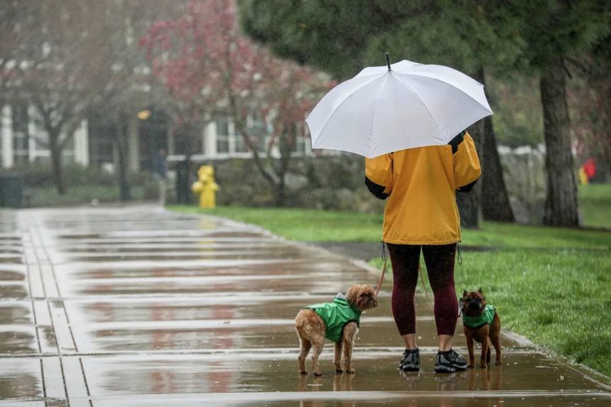
Beatrix Seidenberg walks with her dogs, Clifford and Tug, in the rain at Letterman Digital Arts Center in San Francisco in 2023. More rain is on the way for the Bay Area this week. (Brontë Wittpenn/S.F. Chronicle)
This article originally published at California is about to be slammed with rain, thunder and snow. Here’s what to expect.