More flash flooding is expected at many of Utah’s outdoor gems on Friday, and additional flooding is likely again on Saturday, as remnants of Hurricane Priscilla continue to churn through the state.
The National Weather Service also expanded its existing flood watch to include the Uinta Basin, adding to the many parts of central, eastern and southern Utah already under the alert. Federal meteorologists say the south slopes of the Uinta Mountains are especially at risk of flash flooding as the system continues moving into the state.
“Flash flooding caused by excessive rainfall continues to be possible,” the alerts state.
Flash flooding risks remain across many outdoor areas
Some flash flood warnings were issued on Thursday for parts near Lake Powell and Zion National Park. Boulder Summit in southern Utah ended up with 2.6 inches of precipitation as of noon Friday, according to KSL meteorologist Matt Johnson. Some other areas of the state also received over an inch of rain on the first day, while St. George and Panguitch ended up with over 0.5 inches.
The weather service advises that flash flooding is “expected” again near Zion and Lake Powell on Friday. The same goes for Snow Canyon State Park, Red Cliffs National Conservation Area and Grand Staircase-Escalante National Monument in southern Utah.
It’s also “probable” at Arches, Bryce Canyon, Canyonlands and Capitol Reef national parks, and the Natural Bridges, Grand Gulch and San Rafael Swell areas, according to the agency. It lists all of the areas as having similar flash-flooding risks again on Saturday.
People are urged to avoid slot canyons, dry washes and slickrock areas, as those are prone to flooding. Many communities have already prepared for potential flooding impacts, especially those close to recent wildfire burn scars that are prone to flooding.
“Those living in areas prone to flooding should be prepared to take action should flooding develop,” the flood watch states, adding that some backcountry roads may become “impassable” because of flooding.
Other rain impacts
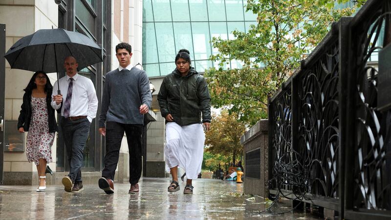
Even areas not included in the flood watch have received decent totals so far. Salt Lake City and South Jordan have each collected over a quarter of an inch of rain from more spread-out waves of precipitation associated with the system, Johnson said.
“We’ve had a nice drink of water (and) there’s more coming,” he said. “We’ve only just begun.”
While most of the rain impacts will center around central, eastern and southern Utah on Friday, some pockets of showers and thunderstorms are possible throughout the rest of the day across the state’s northern half. That continues into Saturday, before a cold front is forecast to push through the state in the late afternoon and early evening, intensifying the storms in the region, Johnson said.
He warns that heavy rain, lightning and wind are all possible while the cold front swings through.
This weekend figures to be a busy one, especially with outdoor events taking place across Salt Lake County. Utah transportation officials advise that about 100,000 extra visitors are expected in Salt Lake City on Saturday because of various large events, including the University of Utah football game and Redwest Fest at the Utah State Fairpark.
The timing of the storms could pose problems for those events, as well as other college football games in the state on Saturday. Johnson said people should bring a jacket, poncho or umbrella if possible. The same goes for Béisbol en Salt Lake planned for this weekend at The Ballpark at America First Square, if it’s not rained out.
The system is expected to clear out on Sunday, with some potential lingering showers and mountain snowfall behind the cold front, he added.
Cool, but dry conditions are forecast across Utah to start next week. Another storm could sneak into Utah’s northern half by the middle of the week, though.
Full seven-day forecasts for areas across Utah can be found online at the KSL Weather Center.
