You can thank the southerly winds for sending away the pesky Canadian wildfire smoke that permeated Wisconsin for over a week.
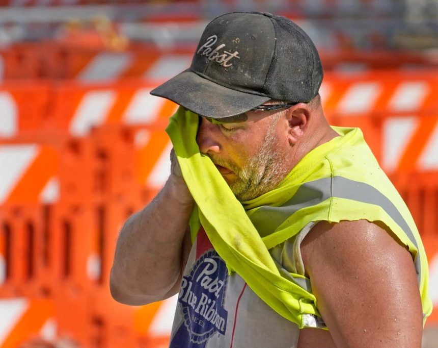
You can also thank those winds for bringing a heat wave back.
On Aug. 8 and 9, heat indices will rise into the mid- to upper-90s in parts of southern Wisconsin and eclipse 100 degrees in northern and central counties.
The triple-digit feels-like temperatures prompted the National Weather Service to issue a heat advisory from noon to 7 p.m. Aug. 8 for the Fox Valley and Green Bay areas, along with western parts of the Northwoods. The following counties are under the heat advisory: Menominee, Northern and Southern Oconto, Shawano, Waupaca, Outagamie, Brown, Waushara, Winnebago, Calumet and Southern Marinette.
Milwaukee heat indices will encroach the mid- to upper-90s Aug. 8, followed by 95 to 100 degrees Aug. 9. There will be minor relief Aug. 10, but feels-like temps will still be firmly in the mid-80s, possibly even warmer.
“We’re not quite reaching heat advisory criteria,” Milwaukee/Sullivan National Weather Service meteorologist Cameron Miller said. “We’re going to stop just a few degrees short.”
Possible storms and showers will provide the best chance for cooler temperatures.
After a slight chance of storms during the day Saturday, there is a 60% chance of rainfall overnight, leading to a more-than-likely wet Sunday. Those storms and showers could bring heavy rainfall, Miller said, leading to potential flash flooding and high wind gusts.
Unfortunately, the dew points will still be high, meaning while it will be cooler, there will be a lot of humidity.
“It’s still going to feel pretty oppressive,” Miller said.
This article originally appeared on Milwaukee Journal Sentinel: High heat, humidity return to Wisconsin before storms and showers come