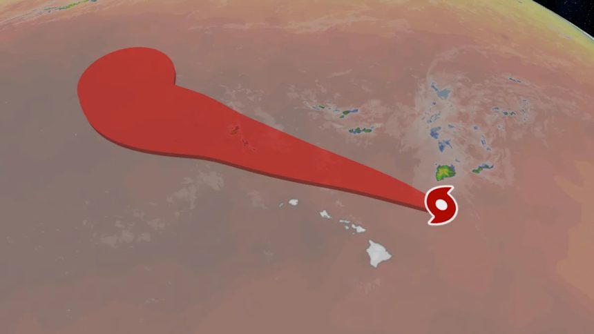
While Kiko continues to weaken as it passes north of Hawaii, the state will still experience much larger ocean swells, and dangerous rip currents through Wednesday.
The storm is expected to continue this northwestward motion during the next several days, allowing it to pass north of the island chain, passing closest to Kauai.
High surf warnings are in place for east-facing shores of most of the Hawaiian Islands, where large waves up to 15 feet are possible.
Kiko is entering drier air, wind shear and cooler ocean temperatures. All of this is helping to weaken the storm.
Kiko’s Potential Impact on Hawaii
Despite Kiko’s weakening trend, swells generated by the storm are causing life-threatening surf and rip currents, especially along east- and north-facing beaches. The threats will remain in place for the islands through mid-week.
Interestingly, Kiko will actually disrupt the normal trade winds that offer Hawaii a steady breeze, and cause lighter winds than normal across the island chain. This will increase humidity and localized showers and thunderstorms for the next couple of days, until Kiko passes by.
Potential Rainfall For Hawaii Through Wednesday
Jennifer Gray is a weather and climate writer for weather.com. She has been covering some of the world’s biggest weather and climate stories for the last two decades.