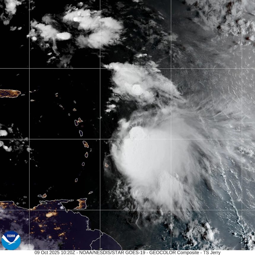
Tropical Storm Jerry is bringing heavy rain as it pulls away from the northern Leeward Islands Friday, Oct. 10, according to the National Hurricane Center.
One of the biggest changes from Oct. 9 is that the National Hurricane Center is now predicting Jerry will not become a hurricane.
➤ Weather alerts via text: Sign up to get updates about current storms and weather events by location
Jerry weakened overnight and is encountering strong wind shear. The overall intensity is “nearly flatlined” through the forecast period before Jerry becomes extratropical Oct. 15.
The latest predictions show maximum sustained winds topping out at 60 mph, well short of the 74 mph required to be designated as a hurricane.
A dip in the jet stream is expected to turn Jerry to the north and then curve it out to sea, keeping it away from North Carolina and the U.S., according to AccuWeather.
Highlights on what Tropical Storm Jerry is doing now
Special note on the NHC cone: The forecast track shows the most likely path of the center of the storm. It does not illustrate the full width of the storm or its impacts, and the center of the storm is likely to travel outside the cone up to 33% of the time.
-
Location: 140 miles north of the northern Leeward Islands; 840 miles south of Bermuda; 1,426 miles east of West Palm Beach
-
Maximum sustained winds: 50 mph
-
Movement: northwest at 16 mph
Spaghetti models for Tropical Storm Jerry
Special note about spaghetti models: Illustrations include an array of forecast tools and models, and not all are created equal. The hurricane center uses only the top four or five highest performing models to help make its forecasts.
How strong is Tropical Storm Jerry and where is it going?
At 11 a.m., the center of Tropical Storm Jerry was located near latitude 20.2 North, longitude 63.4 West.
Jerry is moving toward the northwest near 16 mph. A turn toward the north is expected by this evening, with that motion continuing through Sunday. A turn toward the northeast and east-northeast is forecast Sunday night and Monday.
Air Force Reserve Hurricane Hunter and satellite-derived wind data indicate maximum sustained winds remain near 50 mph, with higher gusts.
Little change in strength is expected during the next few days.
Tropical-storm-force winds extend outward up to 185 miles to the east of the center.
The estimated minimum central pressure is 1006 mb.
Is there a hurricane coming toward North Carolina?
No. Tropical Storm Jerry is no longer expected to strengthen into a hurricane, according to the National Hurricane Center.
The storm is forecast to curve north and then east, staying away from North Carolina and the U.S. east coast.
However, North Carolina can expect rough surf and dangerous rip currents along the coast from the combined effects of a nor’easter developing off the east coast and Tropical Storm Jerry, according to Alex DaSilva, AccuWeather lead hurricane expert in an email Oct. 9.
“The coastal storm, combined with Jerry, will bring rough surf and rip currents to Florida through at least Monday. Both storms will contribute to the rough seas,” DaSilva said.
North Carolina weather radar

North Carolina weather watches and warnings
Interactive map: Hurricanes, tropical storms that have passed near your city
Stay informed. Get weather alerts via text
Brandi D. Addison covers weather across the United States as the Weather Connect Reporter for the USA TODAY Network.
This article originally appeared on Asheville Citizen Times: Tropical Storm Jerry storm tracker, spaghetti models. NC impact