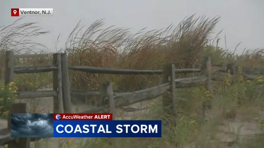
A coastal storm churned its way up the East Coast on Sunday, with New Jersey declaring a state of emergency and some airports posting delays and cancellations in advance of anticipated coastal flooding, and strong winds, as another storm system struck farther south with heavy rain.
All of New Jersey has been under a state of emergency since Saturday night. It’s expected to last into Monday, authorizing the state’s emergency services personnel to be activated as necessary.
A coastal flooding warning remains in effect until 8 p.m. Monday, the Atlantic County Office of Emergency Management said on Sunday.
Widespread roadway flooding is expected in coastal and bayside communities.
The next high tide is expected around 12:17 p.m. Sunday.
Motorists traveling in and out of Atlantic City are advised to use the Atlantic City Expressway, as both the White Horse Pike and Black Horse Pike may become flooded.
The Atlantic County OEM is also reminding drivers not to drive through flood waters, as water is often deeper than realized and can cause vehicle damage and drivers to become stranded.
Residents who live in flood prone areas are advised to move their vehicles to higher ground prior to high tide Sunday afternoon. Free parking is being made available at the Wave Parking Garage in Atlantic City at 2200 Fairmount Avenue.
A high wind warning is also in effect from 11 a.m. Sunday through 6 a.m. Monday.
Northeast winds of 30-40 mph with wind gusts of up to 60 mph are expected. This may cause downed trees and power lines, making for difficult travel.

Atlantic City Electric is currently reporting a small number of power outages, with that number expected to increase throughout the day as the storm makes its way through the area.
Residents are encouraged to report flooded roadways and non-life threatening emergencies to local emergency management offices.
Residents may also sign up to receive emergency alerts from the county’s emergency notification system.