Temperatures have noticeably cooled down in much of Illinois in recent weeks, with the first frost expected to hit northern areas soon if it hasn’t already.
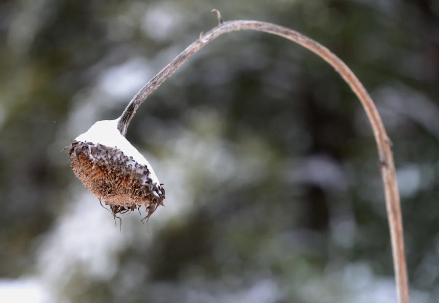
As Illinois residents start to prep for the cold, some may already be wondering when to expect the first snow of the season.
Here’s what experts say is in store.
NOAA Climate Prediction Center’s seasonal outlook for Illinois
NOAA’s temperature seasonal outlook for October through December 2025 is predicting above-average temperatures for Florida
A seasonal temperature outlook map issued Sept. 18 by the National Oceanic and Atmospheric Administration (NOAA) shows Illinois leaning above normal temperatures for October through December.
The outlook predicts Illinois has equal chances for above or below normal precipitation over the next three months.

A seasonal precipitation map for the United States issued by NOAA’s Climate Prediction Center on Sept. 18 for October, November, and December of 2025.
When will first snow hit Illinois?
The Farmer’s Almanac predicted a chilly, snowy season for much of the country in its 2025-2026 winter weather forecast, warning of “Chill, Snow, Repeat” weather patterns for the upcoming winter season. The almanac said swaths of northeast Illinois could see a first snow in mid-to-late October, however, with regular flurries hitting by November.
The first accumulating snowfall last year in northern Illinois occurred on Nov. 21, with parts of Chicago receiving more than four inches, according to the National Weather Service.
For those seeking a more concrete answer, the Illinois State Climatologist analyzed climate data from 1971-2000 and found that the first snowfall typically occurred between Nov. 20 in northeast Illinois and Dec. 20 in southern Illinois.
“In about 10% of the cases, the first measurable snow occurred as early as Nov. 5 in northern Illinois to Nov. 20 in far southern Illinois,” the site found. “In about 10% of the cases, the first measurable snow occurred as late as Dec. 20 in northern Illinois. South of a line from Quincy to Champaign (Interstate 72), it can occur after the New Year. From Carbondale southward … it can be Jan. 20th before the first snow arrives.”
What is a polar vortex?
A large area of low pressure and cold air surrounds both of the Earth’s poles, according to the National Weather Service. A polar vortex always exists near the poles, but weakens in the summer and strengthens in the winter. The term “vortex” refers to the counter-clockwise flow of air that helps keep the cold air near the poles.
The National Weather Service said many times during winter in the northern hemisphere, the polar vortex will expand, sending cold air southward with the jet stream. This occurs fairly regularly during winter and is often associated with large outbreaks of Arctic air in the United States.
The service said there is no cause to be alarmed when you hear about a polar vortex, but you should be prepared for colder temperatures.
La Niña could impact this winter weather in 2025-26

During a La Nina pattern, when ocean temperatures are cooler than normal, Arizona weather can sometimes turn drier and warmer in the winter.
Federal forecasters predict a “brief period of weak La Niña conditions” is expected in the late fall and early winter, which could bring cooler and wetter temperatures to Illinois.
“Chances for the development of La Niña increase as we approach the upcoming winter,” Johnna Infanti, a seasonal forecaster with NOAA’s Climate Prediction Center told USA TODAY in an August email.
According to Infanti, some typical impacts of a La Niña winter can include cooler temperatures over the northern United States, and diminished storm track activity over the southern tier of the United States leading to milder-than-normal temperatures and below-normal precipitation.
This article originally appeared on Journal Star: Average first snow date in Illinois? See what experts say